Peta Jakarta
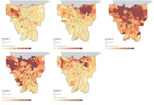

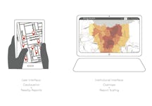

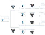

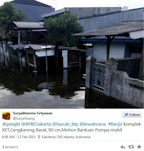
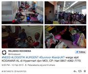
PetaJakarta (Map Jakarta) is a web-based platform used to gather, sort, and display social media about flooding for Jakarta residents in real time. The platform runs on the open source software known as CogniCity - a GeoSocial Intelligence framework developed at the SMART Infrastructure Facility in conjunction with this project - which allows urban data to be collected and disseminated by community members through their location-enabled mobile devices.
The branding and outreach strategy for the project capitalizes on the tech-savvy population and creates a light digital face to the resource. The website and map are mobile centric in their design, and how-to type materials are being currently developed to reach the Jakarta community on their terms, via twitter, video shares, and social media.
| date | 2011-2015 |
| more info | Visit site |
| read more | White Paper |
Team
| Principal Investigator | Etienne Turpin |
| Principal Investigator | Tomas Holderness |
| Designer | Sara Dean |
| With | Many others |